

They provide information about the risk of coastal and river flooding
Updated flood maps have been unveiled by government to provide information concerning the risk of both coastal and river flooding around the Island.
It's hoped the availability of the maps will increase awareness of flood risk among residents, businesses, local authorities and government agencies.
Flood risk maps were first developed in 2010 and have been reviewed and updated several times since.
The Department of Infrastructure's Flood Management Division will continue to review and re-publish the maps as new data becomes available or as understanding of flood risk improves.
You can find the updated maps at the IoM Flood Hub website or via gov.im/maps
 Government responds to Island's inclusion in Epstein files
 DHSC publishes 2026/27 Mandate to Manx Care
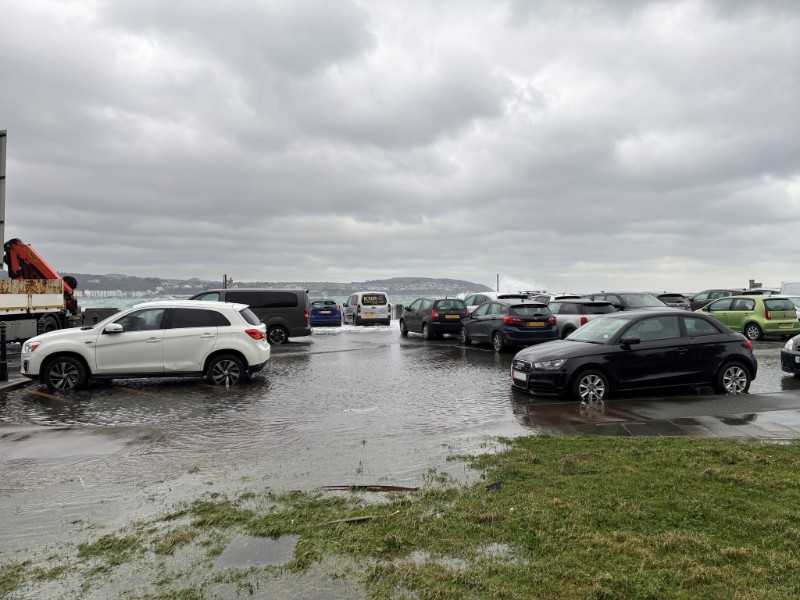 Another amber weather warning for coastal overtopping issued for Wednesday
 Issues with Vinted resolved, says DfE
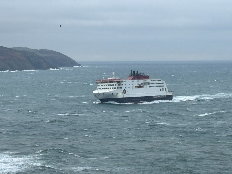 Heysham sailings cancelled due to adverse weather forecast