

The alert lifts at 3pm
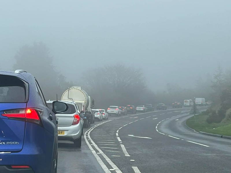
A yellow weather warning for snow and ice remains in place across the Isle of Man until this afternoon (2 January).
Minor snowfall is expected on hills above 1,000 feet, while icy conditions are predicted to develop on many surfaces overnight.
Rain later today may briefly turn to snow on higher ground, but any accumulations are expected to be minor and limited to elevations above 1,000 feet.
Precipitation is forecast to clear by around 5pm, paving the way for a widespread frost as road temperatures drop below freezing on high-level routes this evening and at all levels overnight.
Forecasters warn that ice is likely to form on untreated surfaces where moisture remains, despite many areas drying out later.
Temperatures are expected to remain below freezing on hills throughout tomorrow.
 Inquest into death of MGP competitor continues
 Manx Utilities apologises for road closure amid 'essential maintenance'
 Teen accused of wounding with intent to murder appears in court
 Section of Quarterbridge Road to close for tree works
 Concern in Northern Ireland over fishing visas