


Government publishes updated maps online
Changing weather patterns that have raised flooding risks in prone areas demonstrate the critical importance of regularly updating the Island's flood maps.
Infrastructure Minister Michelle Haywood believes the information is particularly important for planning purposes, and to enable the community to make informed decisions around protecting properties and infrastructure.
But she's clear that the maps must not be used by insurance companies when assessing policy charges:
Minister Haywood says anybody unhappy with insurance quotes in respect of flood risk should contact the insurers directly.
You can find the latest flood maps HERE.
 Assisted Dying Bill mover pleased as Jersey becomes first place in British Isles to legalise assisted deaths
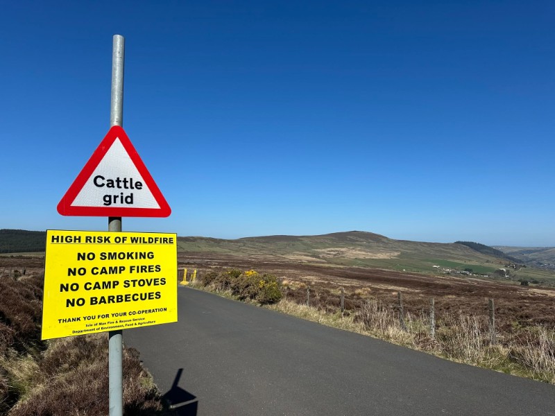 Public warned of increased risk of wildfires
 Cocaine, ketamine and cannabis dealer jailed
 Charity hosts stroke awareness event in Peel